 GDU

 UUUFLY
 DJI
 MMC
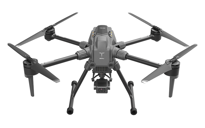 GDU
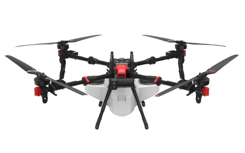 XAG
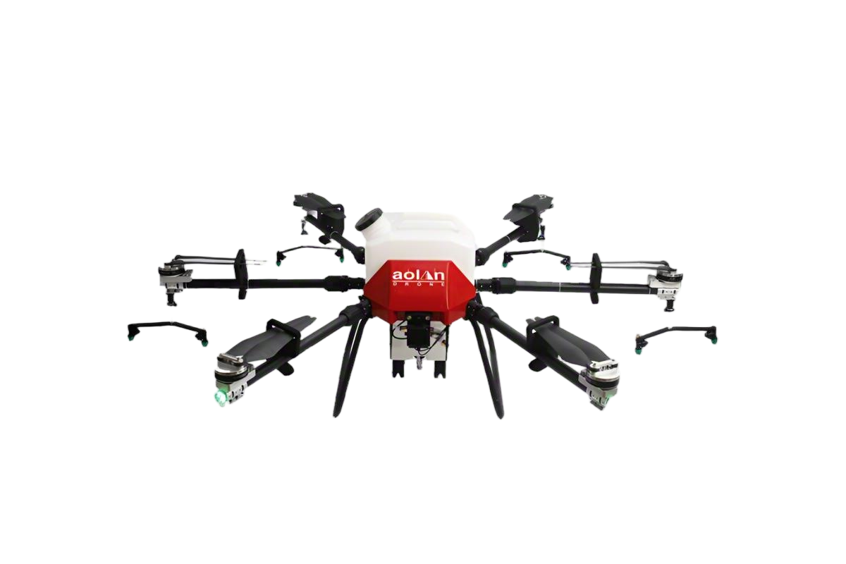 AOLAN
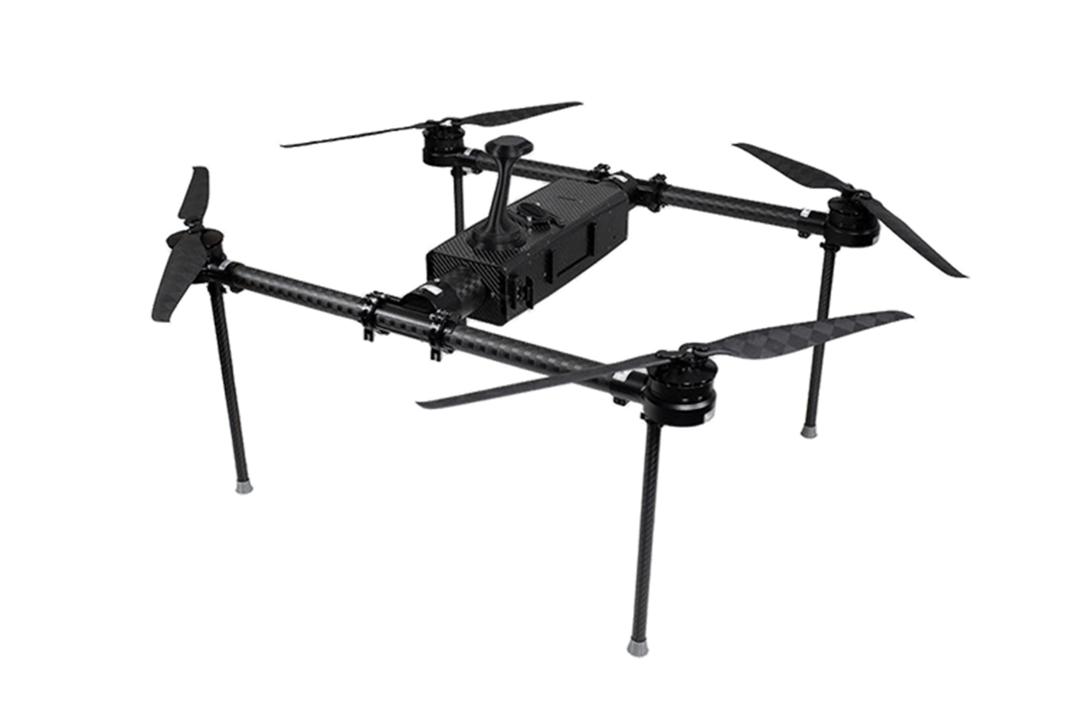 KEEL
 SKY NEXT
- DJI Matrice-4T
- DJI Matrice 4E Drone
- DJI Matrice 4TD
- DJI Matrice 30T
- DJI Mavic 3 Emterprise
- DJI Mavic 3M Multispectral Drone
- DJI RC 2 Plus Industry Plus
- DJI Matrice 4 Series Battery
- DJI Matrice 4D Series Batteries
- TB65 Intelligent Flight Battery
- TB100 Smart Flight Battery
- WB37 Battery
- DJI Accessories

Picking an enterprise drone isn’t just about comparing flight times or camera quality anymore. Folks shopping around globally need to think about a lot more—things like how reliable the drone is, what kind of support they can get in their area, data privacy considerations, training needs, and of course, the overall cost of ownership. This guide takes a practical, no-nonsense look at enterprise UAVs, covering uses like inspection, surveying, construction, farming, emergency planning, and tracking infrastructure. Keep in mind, the best platform isn’t always the flashiest brochure—it really depends on the job site.
For example, DJI Enterprise offers a pretty extensive ecosystem that’s great for mapping, inspections, and coordinating operations. Skydio leans into autonomous flying, which can be a real help when navigating around tricky structures. Wingtra is perfect if you need vertical takeoff and mapping over tough terrain. And there are other options too—like Delair and AgEagle—that might fit special surveying or farming projects better. But hey, don’t take these descriptions as gospel. At the end of the day, field testing beats reading specs—what matters is how the drone performs in real-world conditions. For instance, inspecting a bridge calls for steady imaging and smart obstacle awareness. A mine survey might focus more on precision, battery logistics, and software compatibility. Farmers might care about multispectral data, consistent routes, and easy reporting.
Oh, and don’t forget about the legal side of things—local aviation laws, privacy rules, cybersecurity practices, and operational limits are all things to double-check before buying. When things go wrong—like battery failure at a remote wind farm—response speed from support really matters. Also, think about spare parts, pilot training, maintenance history, and export options during your evaluation. No one-sized-fits-all ranking exists, and that’s kind of the annoying truth. Performance can vary depending on weather, terrain, updates, or how skilled your pilot is. So, the smart approach is to narrow down your options using manufacturer info, independent tests, customer feedback, and controlled demos. Ultimately, it’s not about grabbing the coolest-looking drone. It’s about choosing a legit, supportable, and measurable business tool that works for you.

Enterprise UAV Scope: Inspection, Mapping, Security, and Logistics Missions
What Are the Top Enterprise UAVs for Global Buyers?
Enterprise UAVs should be selected by mission evidence, not impressive specifications. For industrial inspection, a stable aircraft with thermal and high-resolution sensors can reveal overheated connectors, cracked surfaces, or moisture around roofs. Obstacle awareness matters near towers and other infrastructure. In practice, wind, dust, and weak signal areas expose weaknesses quickly. A useful platform supports repeatable flight plans, precise positioning, and secure data transfer. However, “all-weather” claims still need local testing.
Mapping crews need RTK or PPK positioning, calibrated cameras, and software that preserves ground control points. A small error can distort stockpile volumes or road measurements. Ground teams should verify outputs against surveyed references. Sometimes the map looks perfect. It is not. Security missions require lawful observation, clear retention rules, and privacy controls. Low-light cameras, encrypted links, and detailed flight records help teams review events without collecting unnecessary personal data.
For logistics, buyers should examine payload balance, route planning, landing accuracy, battery endurance, and fleet management tools. Delivery trials should begin with controlled routes and clearly defined landing zones. Weather alerts and remote diagnostics can reduce avoidable delays. Maintenance logs matter as much as camera quality. Operator training also deserves a real budget. A capable UAV can still fail when procedures are rushed, batteries are poorly stored, or local airspace requirements are misunderstood.
What Are the Top Enterprise UAVs for Global Buyers? - Enterprise UAV Scope: Inspection, Mapping, Security, and Logistics Missions
| Enterprise UAV Profile | Primary Mission | Typical Configuration | Flight Endurance | Payload Capacity | Positioning / Mapping Accuracy | Typical Operating Range | Best-Fit Enterprise Use |
|---|---|---|---|---|---|---|---|
| Compact Multirotor | Close-range inspection | Four- or six-rotor electric platform with stabilized RGB, thermal, or zoom camera | 25–45 minutes per battery | 0.3–2 kg | Centimeter-level mapping with RTK/PPK options | Up to approximately 5 km, subject to local regulations and link conditions | Buildings, towers, roofs, solar farms, bridges, and industrial assets |
| Heavy-Lift Multirotor | Inspection with specialist sensors | Six- or eight-rotor electric platform supporting LiDAR, gas detection, multispectral, or high-resolution imaging payloads | 20–40 minutes per battery | 2–8 kg | Approximately 2–5 cm horizontal accuracy with suitable GNSS and ground control | Up to approximately 5–10 km, depending on configuration | Power corridors, mines, refineries, construction sites, and complex 3D surveys |
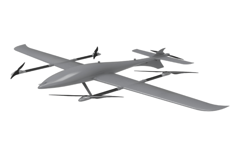
| Vertical-Takeoff Fixed-Wing UAV | Large-area mapping and monitoring | Hybrid electric aircraft combining vertical takeoff with efficient fixed-wing cruise | 60–150 minutes per mission | 0.5–3 kg | Approximately 3–10 cm ground accuracy with RTK/PPK and proper mission planning | 20–80 km mission distance, depending on airspace and communications requirements | Agriculture, forestry, mining, environmental surveys, and linear infrastructure |
| Long-Endurance Fixed-Wing UAV | Wide-area surveillance and observation | Electric or fuel-powered fixed-wing aircraft with EO/IR imaging and optional communications relay | 4–12 hours | 1–10 kg | Mission-dependent; generally optimized for persistent observation rather than survey-grade mapping | 50–200 km operational radius, subject to regulatory approval and command-link architecture | Perimeter security, border observation, maritime monitoring, and emergency response |
| Tethered Multirotor | Persistent security overwatch | Electric multirotor connected to a ground station for continuous power and data transmission | Several hours to continuous operation, depending on system design | 1–5 kg | Typically optimized for stable video and thermal monitoring rather than topographic mapping | Tether height commonly up to approximately 100–150 m, subject to approval | Events, critical facilities, temporary checkpoints, ports, and disaster zones |
| Cargo Multirotor | Short-range logistics delivery | Heavy-lift electric multirotor with secured cargo box, winch, or release mechanism | 15–40 minutes with useful payload | 5–30 kg | Delivery accuracy commonly within several meters using GNSS and precision landing aids | Approximately 5–30 km per delivery cycle | Medical supplies, spare parts, emergency equipment, and remote-site resupply |
| Autonomous Dock-Based UAV | Scheduled inspection and security | Weather-protected aircraft dock with automated charging, health checks, and remote mission control | 25–50 minutes per sortie; repeat missions throughout the day | 0.3–2 kg | Repeatable inspection routes; mapping accuracy depends on RTK/PPK and sensor package | Approximately 5–15 km from the dock for many enterprise deployments | Factories, warehouses, utilities, solar plants, campuses, and asset-management programs |
| Indoor Micro UAV | Confined-space inspection | Small protected multirotor using visual-inertial navigation and obstacle sensing | 10–25 minutes per battery | Usually below 0.5 kg | Relative positioning; not normally intended for survey-grade georeferenced mapping | Typically 100–500 m from the operator or control station indoors | Warehouses, tunnels, tanks, attics, industrial interiors, and hazardous-access areas |
Note: Performance figures are representative enterprise ranges. Actual results vary with payload, battery condition, wind, temperature, terrain, communications infrastructure, and local aviation regulations.
FAQS
Under U.S. small-UAS rules, flights generally must stay at or below 400 feet above ground level. Local airspace restrictions still apply. Near tall structures, special conditions may allow limited operation within 400 feet of the structure.
Slopes, towers, and uneven construction sites can distort altitude decisions. Operators should confirm whether altitude uses the launch point or changing ground level. That detail is easy to miss.
Confirm airspace status, weather, pilot credentials, site boundaries, and obstacle locations. Check geofencing, altitude data, return-to-home settings, and emergency landing areas. Keep conservative margins.
A capable fixed-wing mapping system may cover up to 460 hectares in suitable conditions. Actual coverage depends on wind, terrain, altitude, battery health, image overlap, and ground resolution. Advertised maximums are not guarantees.
Inspect the launch area, satellite visibility, and emergency landing options before takeoff. Review flight logs for missed strips. Check images for gaps, blur, and uneven exposure before leaving the site.
Reliable ground control or a verified correction service may be necessary. Accuracy also depends on terrain, image overlap, positioning quality, and careful mission planning. More detail can increase storage and processing time.
Detailed RGB imagery can show cracked concrete, loose fasteners, and faded labels. Inspectors may crop small areas while preserving readable edges. Good evidence matters more than impressive specifications.
Thermal sensors may identify unusual heat near electrical connections, moisture patterns, or uneven machinery loads. A warm patch is not automatically a defect. Surface material, sunlight, wind, and emissivity can distort readings.
High resolution cannot repair poor piloting, weak analysis, glare, or limited battery capacity. Insulation and surface coverings may hide defects. Buyers should test the complete workflow, including training, maintenance, security, and report export.
Conclusion
Enterprise Uavs are becoming essential tools for inspection, mapping, security, and logistics operations across multiple industries. The right platform depends on mission requirements, including flight endurance, payload capacity, positioning accuracy, environmental protection, and the need for operations beyond visual line of sight. For routine missions under FAA Part 107, operators generally plan around the 400-foot AGL altitude limit, while other regions may apply different frameworks and approval processes.
A practical comparison should include multirotor endurance of up to approximately 55 minutes, fixed-wing mapping coverage reaching about 460 hectares per flight, and inspection systems combining high-resolution RGB cameras with 640×512 thermal sensors. International buyers should also consider EASA SORA assessments for specific-category missions, along with local registration, pilot qualification, airspace permissions, data handling, and insurance. A complete buyer matrix that evaluates payloads, IP ratings, RTK capability, BVLOS readiness, support, and total cost can help organizations select a reliable and compliant solution.
Related Posts
-

China Top 10 Enterprise UAV Manufacturers for Global Buyers
-

How to Choose Industrial UAVs for Global Procurement?
-

What Are the Best Professional Drones for Aerial Photography?
-

Top 10 Business Drones in China for Global Buyers Guide?
-

Top Professional Drones for Global Buyers in 2026?
-

China Best Enterprise Drones for Global Procurement Needs?
